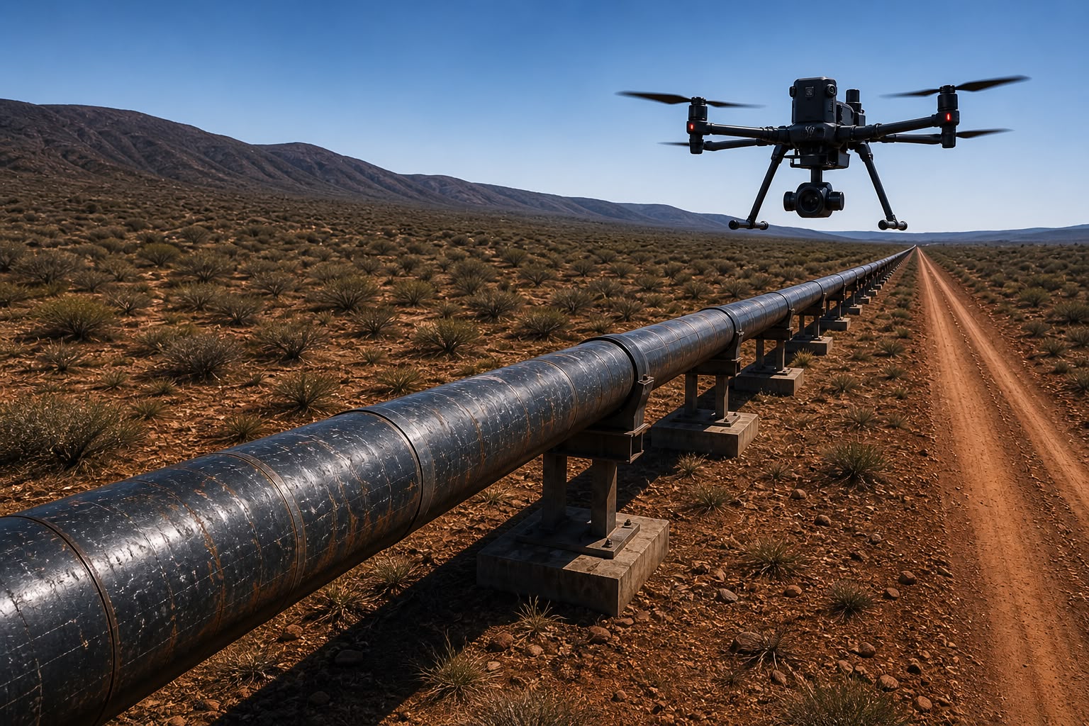
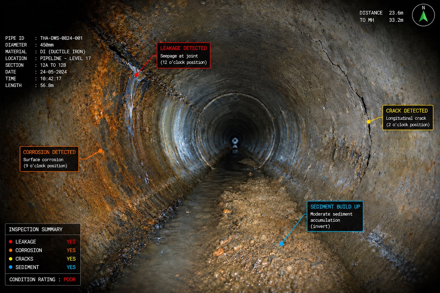
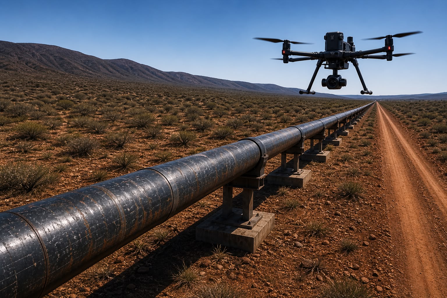
Fly. Measure. Decide. Aerial Survey, Inspection and Surveillance – Flown under certificate, processed in house, handed back as decisions Call Us Now Grade B PSIRA Registration Expert Team 8 licensed pilots stationed across South Africa G1367D SACAA UAS Operator Certificate. Insured Public Liability cover in force. About us We fly to answer a question – where the fault is, how much is on the stockpile, who is on the fence line – and we hand back the answer and data Established in 2017 RPAS Pilots 8 km BVLOS Range 24/7 Night-capable OPS Learn More Our Services Survey & Mapping Georeferenced surveys, orthomosaics and contours to GNSS control. 3D & Photogrammetry Point clouds, surface and terrain models, textured meshes Landscape Architecture Enhance your landscape with beautiful patios. Infrastructure Inspection Pylons, towers, bridges and reservoirs - no climbing Explore Our Services Why Us Our Commitment to Excellence Since 2017 A South African RPAS operator and aerial data company, certified for commercial air services. Certified Qualified commercial pilot and RPAS examiner, with 1000+ hours of BVLOS survey and surveillance. Accountabole for flight operations and complaince. 24/7 Night operations flown under certificate, with live feed to the control room Our Projects Our Stunning Projects Pipeline Inspection View All Projects