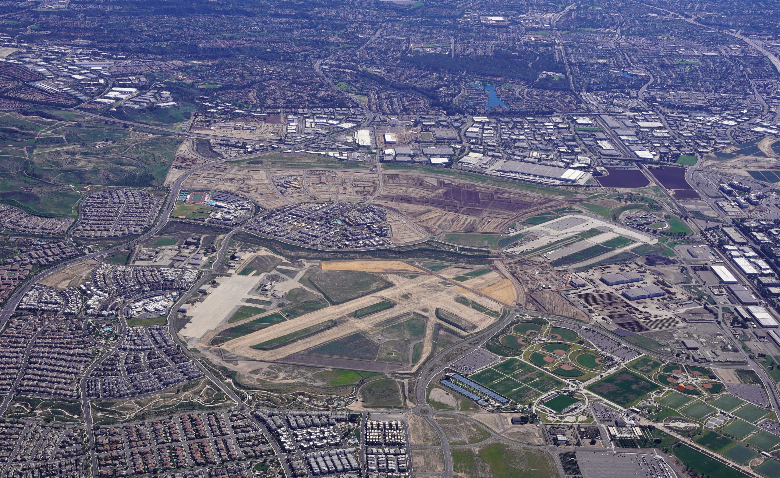
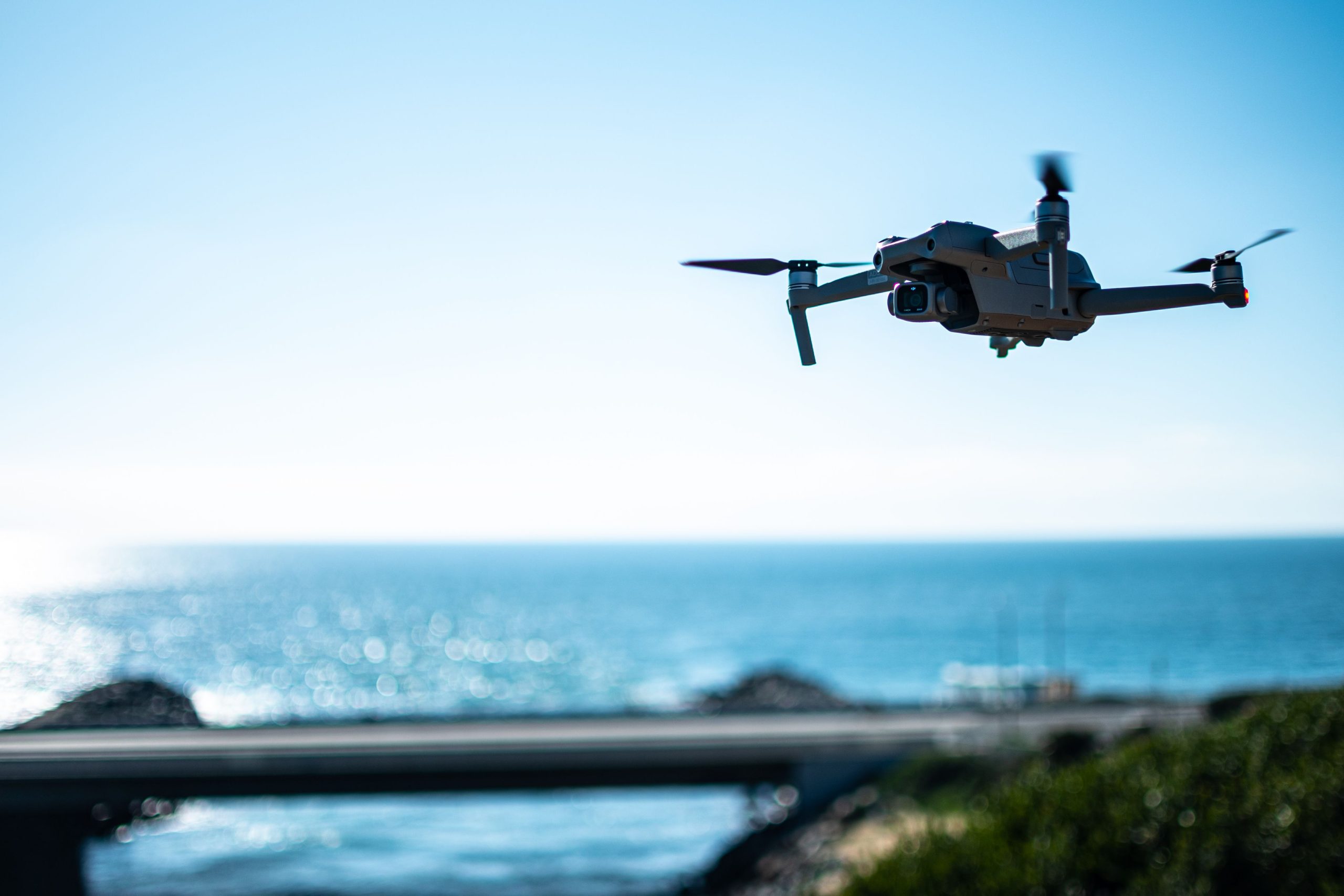
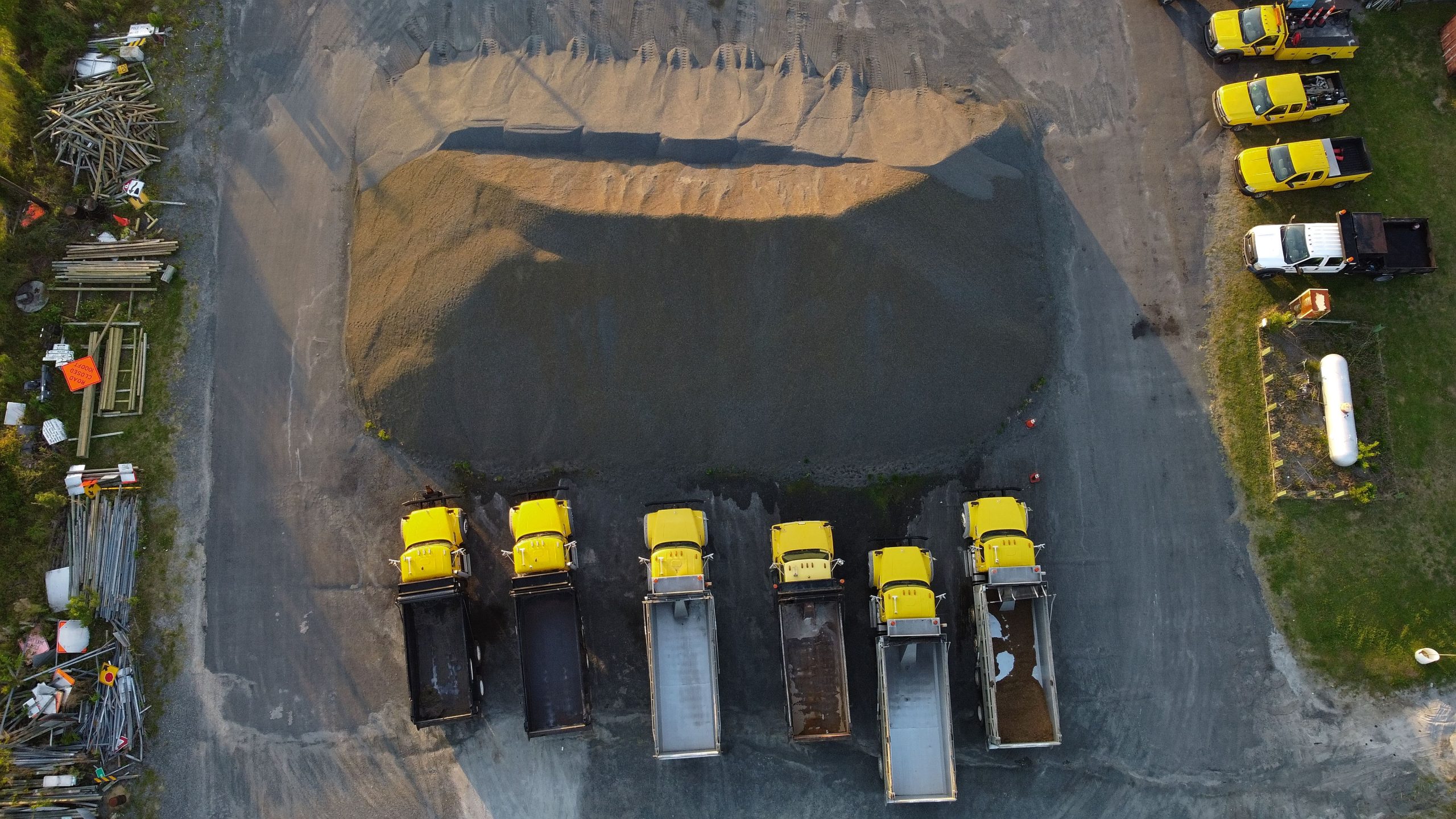
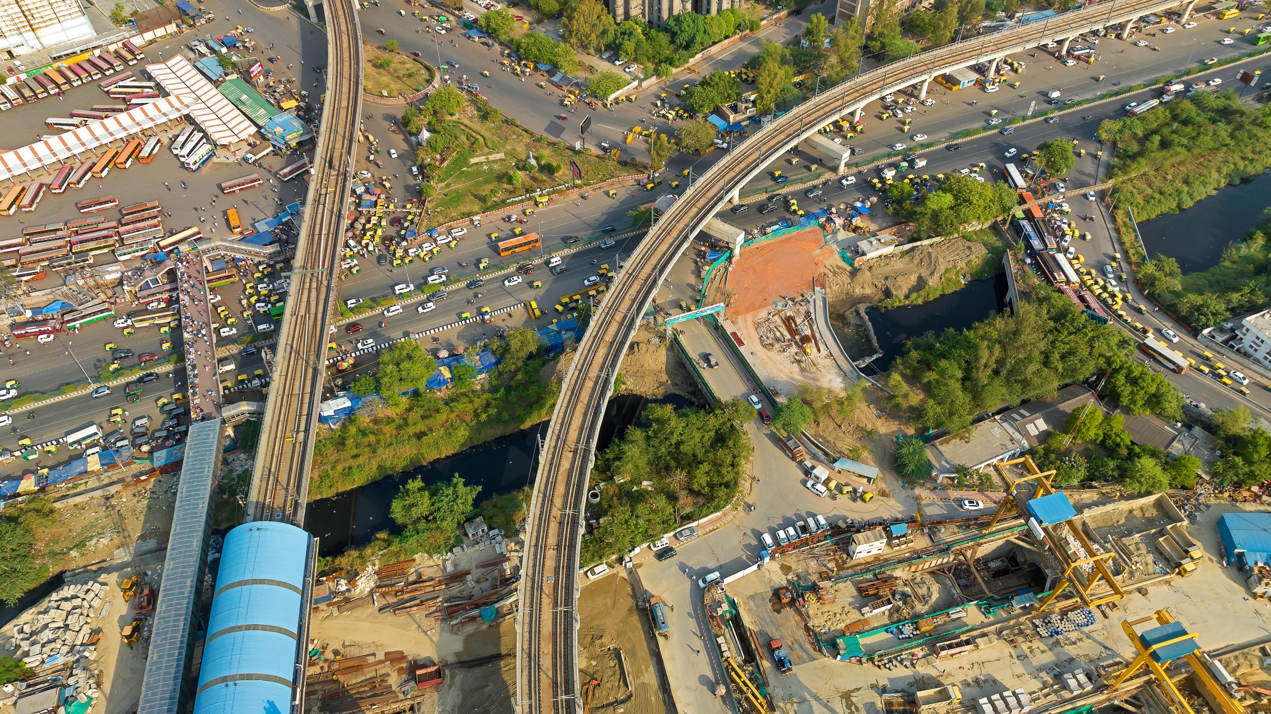
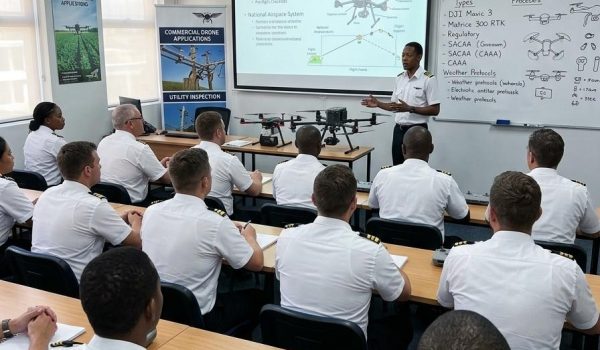
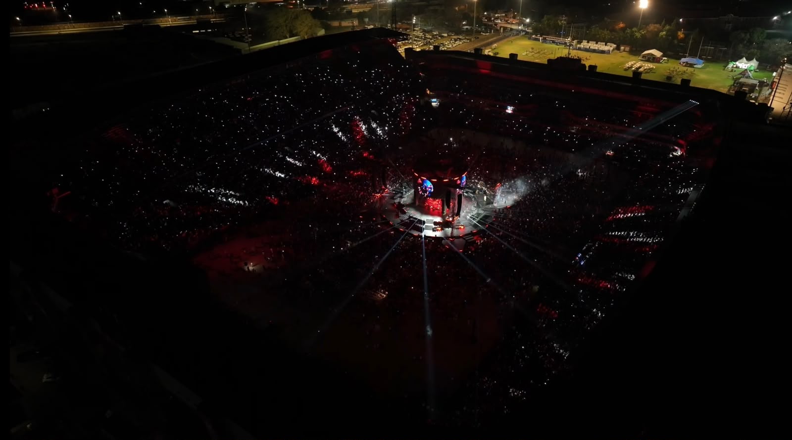
Services Our Services All Services Our Full Range of Services Survey & Mapping Georeferenced surveys, orthomosaics and contours to GNSS control. 3D & Photogrammetry Point clouds, surface and terrain models, textured meshes. Stockpile Volumetric Cubic Meters and tonnage without standing the yard down. Infrastructure Inspection Pylons, towers, bridges and reservoirs - no climbing Compliance Consulting SACAA certification and training for in-house programmes. Film And Arial Media Broadcast, event and commercial cinematography.